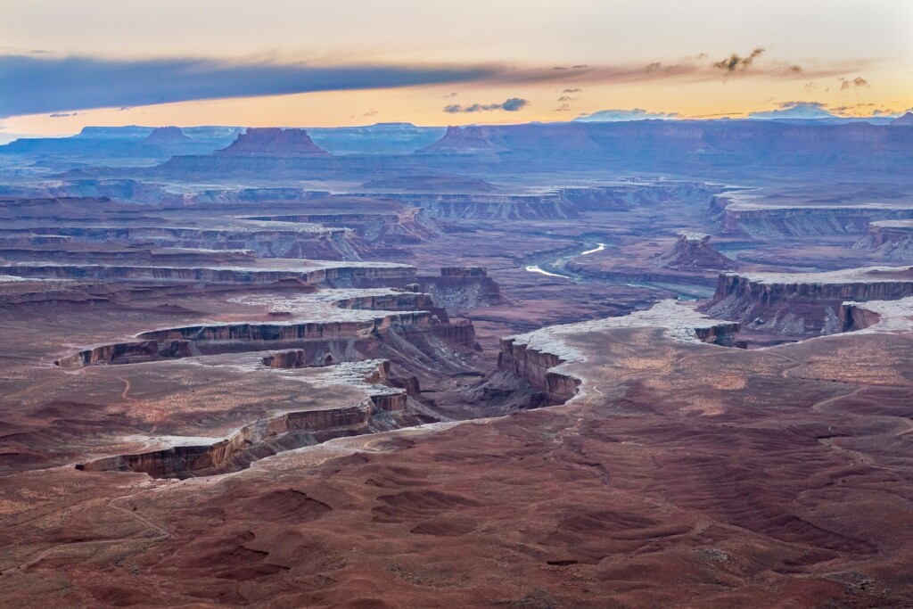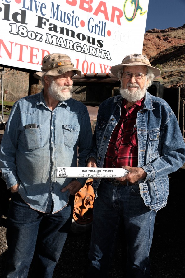
Every year, thousands of worldwide travelers visit Moab’s White Rim Trail. On foot, bicycle or by jeep, here people witness some of the most majestic scenery in the American Southwest. Unlike the Grand Canyon, Bryce, or much of Canyonlands, the White Rim area is accessible only by 4×4 vehicles. On this day, the huge international annual “Jeep Safari” event hasn’t yet started, but the off-road season has begun. Many are traveling the 120-mile loop in one day to avoid having to obtain an overnight permit.
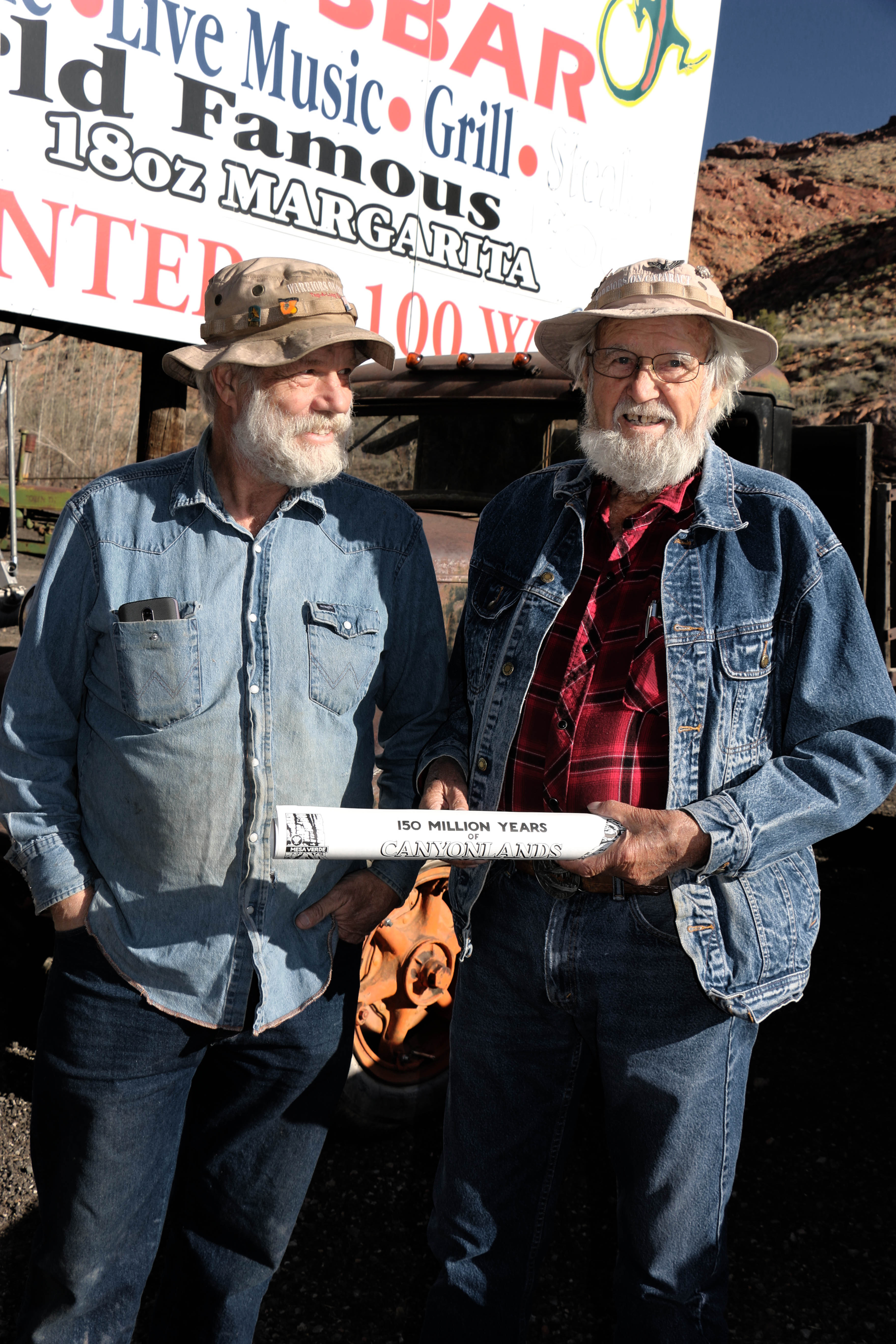
As Will Fryer, of Moab’s Castle Creek Winery, and I head out with Lin, we can see trails of dust kicked up by mountain bikers and Jeeps that look like they are in a Baja-style race to the finish line. But we’re not in a big hurry because we aren’t traveling the entire White Rim today. We are here instead to learn about the region’s geology and paleontology from probably the greatest living expert in this area. Lin’s theories concerning dinosaurs, rocks and their stories have been published and proven accurate.
And, rather than selling the dinosaurs he’s found, Lin has instead donated them to museums such as BYU and other Natural History museums.
We travel down Potash Road and round steep turns that lead us to a Colorado River overlook. Here, where others might see a plateau scattered with small stones and rocks, Lin Ottinger observes 500-million years of Earth’s history in the rocks and stones. He pulls out his famous strata map and points out how layers of rock correspond to different geologic periods.
Lin finds his first fossil after we’ve been out of the SUV for ten seconds. He picks it up and says, “It’s a 200 million-year-old clam shell.” He then finds large clam shell fragments and various other fossils. I couldn’t begin to recognize as them such.
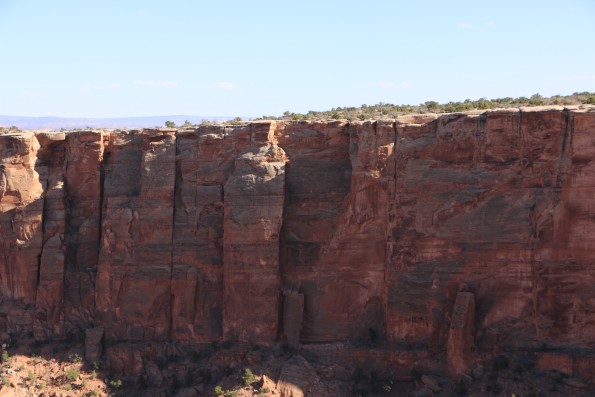
Lin was here 15 years before this area became a national park. He remembers when Shafer Trail was first being constructed not long after he moved to Moab in the 1950s. He explains that “the miners pooled their money together” to build these trails. Using backhoes and earthmovers, the men achieved an amazing feat of civil engineering in carving switchbacks out of the sheer cliff wall.
We stop at a spectacular canyon with a small parking spot to see a fantastic natural bridge known as Musselman. National Park Rangers stop us, and things get a bit awkward.
“Hi how are you? Did you pay for a permit?” the ranger asks.
“We aren’t staying overnight,” Lin replies.
“We would really like you to register for this trip online, even if you are not camping out,” the ranger tells us.
“Okay,” Lin agrees as he pulls out his special permit (which I believe is a lifetime permit). The ranger acts apologetic as he eyes the permit. “Wow. I’ve never seen one of those,” he mumbles.
Lin quiets when asked about his relations with the National Park Rangers. “I’d rather stay out of that,” he finally reveals. “They have to do things to manage the crowds. Some things I agree with; others I don’t.” I can tell that Lin is a bit nostalgic for the freedom he once experienced in this area before the bureaucratic control.
For fifty years Lin Ottinger operated a White Rim touring operation. During those years he carefully examined the rock drawings and developed theories as to what the Native American authors were trying to say.
We examine the rock drawings on Potash Road.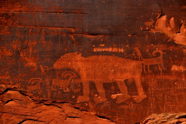
“You see how he has his hands out?” Lin asks, pointing to one of the figures on the wall. “He is showing his five fingers. Do you know what that means?” he asks. I don’t have a clue. Maybe they wanted to warn people against predators?
“No, that means it’s friendly. Their hands are open, as opposed to closed, which would mean fighting. Open hands mean that it’s a friendly gathering.”
Lin goes on to explain his theory about how the moons represent how long the gathering was going to last. The entire picture was actually an advertisement for a big party.
Lin has studied the theories and the various ideas of interpreting rock drawings, and he believes that most of what is out there, “is a bunch of garbage.” These people were writing about a friendly party and the big circles below their chests aren’t shields, as some have thought. Those drawings show that their hearts were full after coming to the gathering.”
Considering that Lin has examined these rock drawings for fifty years, I would not begin to disagree.
Lin brought out a few sheets of paper and I wasn’t sure what they were for. He started folding and tearing a sheet of paper. It’s unlike any paper airplane I have seen, with a long tail and a rudder it launches over the cliff, the back-draft sets it down onto the desert ground. After a few more attempts it catches an updraft and soars hundreds of feet above us, banking up and up and out over the mighty river and then back down. It flies amazingly well.
He then tells me stories where his airplanes ended hundreds of miles away, and he always made his planes from his tour brochure, which included a map. He would get calls from people who would find the planes. On one occasion he was lunching with his tour about an hour after launching a plane, and the same plane banked down and landed on their table.
Moab is a Jeep Safari mecca thanks to uranium miners who constructed in this area. It’s thanks to the sweat of uranium miners attempting to get to accessible ore. The federal government assumed control of the land in 1965. Today, The Mighty 5® campaign is working and the National Park Service has crowd issues. Nobody likes the idea of more permits and control, but nobody likes how there are always stupid people who go off the trail and cause destruction. Land use management is a very difficult problem in the west.
At the tour’s end, we take in the panoramic grandeur. Ravens soar. Jeeps come and go. It’s hard to imagine any conflicts. It’s a natural Disneyland made by God and carved a bit by man. Let the world come and see.
Watch Lin interpret Indian rock art in our online video: https://www.youtube.com/