From Mining to Mountain Biking
Moab, Utah, is surrounded by stunning natural beauty, attracting recreation seekers from around the world. With Canyonlands and Arches National Parks and Dead Horse Point State Park just a stone’s throw from town, Moab has blossomed over the last 40 years into an outdoor-lovers Mecca. But it wasn’t always so.
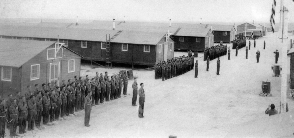
Back in the 1940s and ‘50s, the onset of the Cold War instilled fears of a communist invasion and ushered in the atomic age. Uranium, once a waste product of vanadium mining, became an essential element in the U.S. arms race, and Moab had uranium. Lots of it. In fact, the entire Colorado Plateau region was infused with this radioactive element in its raw form. All that was needed was a way to extract it. The Cold War prompted a frenetic rush to produce as much weapons-grade uranium as possible in a short amount of time.
Charles Steen, an unemployed oil geologist from Texas, capitalized on the opportunity to exploit the country’s atomic gold rush with Moab’s high-grade ore. Using oil technology, Steen struck it rich with his “Mi Vida” mine claim just southeast of Moab in Lisbon Valley. Others followed Steen’s lead, and Moab soon became the “The Uranium Capital of the World.” By the late 1950s, Utah’s uranium boom was turning prospectors into millionaires virtually overnight.
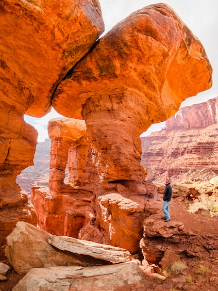
Cold war fears gradually subsided, and by 1962 the boom went bust. But more than 800 abandoned uranium mines still punctuate southern Utah like holes in Swiss cheese. Some of them are big enough to drive a semi-truck through, and the roads that accessed them continue to provide an arterial network of trails into areas that were previously inaccessible in this inhospitable terrain. And some just dead-end at the edge of steep cliffs.
Today, many of these roads and trails see regular use by off-road enthusiasts, mountain bikers and hikers, who use them to access some of the most beautiful desert scenery to be found anywhere.
White Rim Trail
Utah’s most famous Jeep and mountain bike route is the renowned White Rim Trail in Canyonlands National Park. At 103 miles in length, it is the area’s longest and most famous former mining road. Now a magnet for die-hard cyclists, White Rim was carved as an access road for multiple mining claims during the uranium era, but it was abandoned when ore was found in more accessible locations.
Slickrock Trail
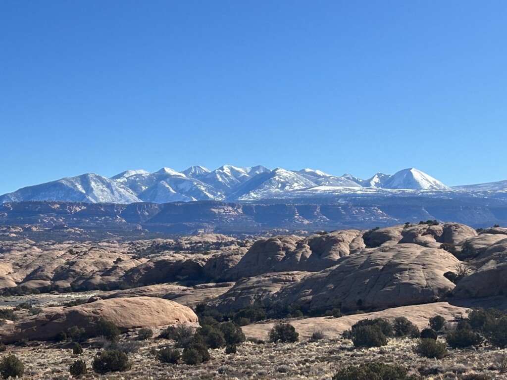
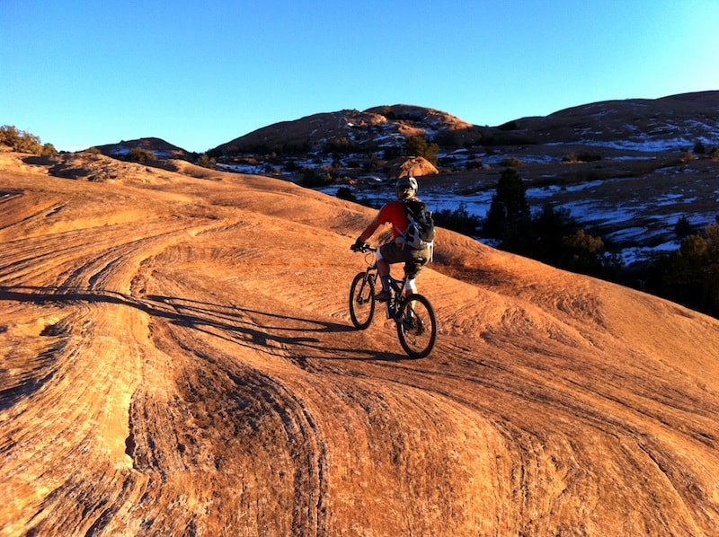
As one of North America’s most revered mountain biking meccas, Moab is home to the world’s most famous mountain biking trail ― the renowned Slickrock Bike Trail. Although it was never a mining trail, this 10.5-mile loop trail on petrified sand dunes is famous for its challenging and sometimes unforgiving technical terrain, its breathtaking vistas of the surrounding red rock fins and mesas, and the often snow-capped La Sal Mountains to the east.
Comprised of 190-million-year-old Navajo Sandstone that provides almost unlimited, gritty traction for bike tires, this is extreme mountain biking at its finest. While Slickrock offers cycling fun for all abilities, the bulk of it is for hardcore riders only. Located just a short jaunt from town, at the top of a steep and winding road, the trail is open year-round and is worth every penny of the $5 entry fee. Picnic tables and toilets are provided at the Sand Flats trailhead.
Porcupine Rim
Also accessible from Sand Flats is Porcupine Rim trailhead. Riders can navigate the 14 miles back to the highway, crank out the 20-mile route back to town, or sweat the entire 30-mile loop with its 3,000-foot elevation gain. In the words of one rider, “What more is there to love [than] fun techie sections next to a massive cliff? World class!”
And so many more …
Other trails with curious and eclectic–sounding names include Amasa Back, Behind the Rocks, Monitor and Merrimack, Bar M Trail, Falcon Flow, Jug Handle Loop, Poison Spider Mesa, Bartlett Wash, The Whole Enchilada, and the Kokopelli Trail, which connects Moab to Loma, Colorado (about 150 miles). Not all of them were mining roads, but they all lead to amazing desert adventures.
Areas like Hurrah Pass Gemini Bridges Road, Klondike Bluff, KlonZo, Horse Thief, Navajo Rocks, Sand Flats, and the La Sal Loop offer dozens of spur trails rated from easy to difficult, depending on your level of mountain biking chutzpah. There are even trails for the kids.
Whether you hike, bike or Jeep on Moab’s backcountry trails and roads, remember to always pack out what you pack in, respect nature and historical artifacts, and leave no trace that you were there. This will help ensure that the people behind you will enjoy their backcountry adventure as much as you enjoyed yours.
Grab a good map at your favorite Moab bike shop, and check out the Discover Moab website for difficulty ratings, bike rentals, shuttle services and more: https://www.discovermoab.com/mountainbiking/.
And don’t forget to take lots of water!
Subscribe to Utah Stories weekly newsletter and get our stories directly to your inbox
nbsp;