Liberty Wells before it was Liberty Wells
In 2011, two Salt Lake City neighborhoods officially merged to become the Liberty Wells Historic District, but the story of the area’s development begins in the 1800s.
Imagine it’s 1875. You have journeyed to 900 S, the southern edge of the city.
The urban blocks, the original Plat of the City of Zion, are 10-acre squares. Stretching to 2700 S lays the land known as the Big Field, where families farm rural acreage and small-scale agricultural enterprises provide the region with cash crops.
By 1875, the transcontinental railroad was completed and the mining industry was prospering. Both historic factors influenced not only Salt Lake City’s resident growth, but also its urban demographic.
Between 1880 and 1920, the city’s population would quadruple in size.
Uncovering the past
Archaeologist and environmental consultant, Sheri Murray Ellis, researched the Liberty neighborhood for the 2011 National Park Service historic district boundary increase request, and was on the research team for the Wells district historic designation request.
“With the influx of people as a result of mining and the railroad, the church, which owned all the land, understood that there was a need to formalize the city’s growth,” Sheri notes.
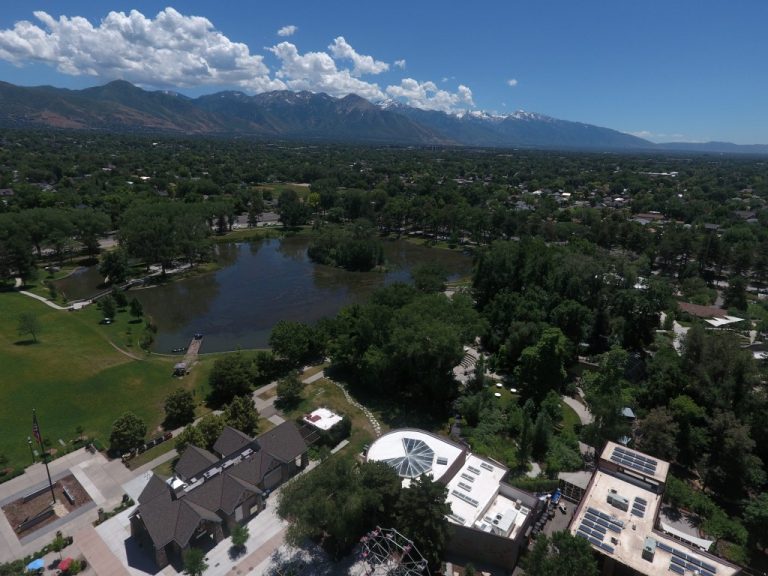
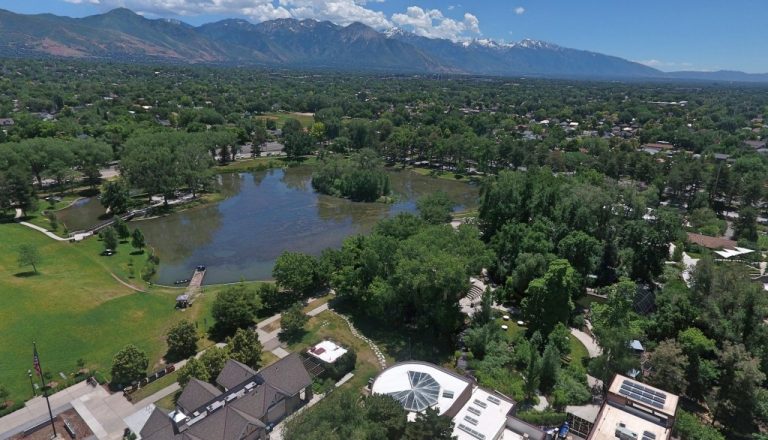
Liberty Park opened in 1881, and the Big Field was platted in the 1880s, but on a different scale than the Plat of Zion.
Still a grid, the tidily divided land had more numerous streets crisscrossing through smaller rectangular blocks, with mid-block alleys running between the backs of properties. Outside developers soon bought tracts of land and created subdivisions with names such as Linden Park and Denver Place.
What was unique about the growth strategy at this time in the city’s history was that the hundreds of acres south of the city were developed as residential suburbs.
By contrast, Sugar House, Sheri mentions, “was developed as a standalone community. You could live in Sugar House and have access to basic amenities; the Liberty and Wells neighborhoods were developed with no planned commercial spaces. It was like Ivory Homes of today.”
One-off small businesses did arise, however, and an extant example of an early 20th century structure is the Red Kiln Pottery building on the corner of 400 E and 1700 S; but over 90 percent of construction was housing, a district characteristic that has remained intact.
By 1919, electric streetcar service extended south into the Liberty Wells neighborhoods along 700 E, 400 E and State streets, allowing people to easily work in the city and live in the country. The majority of residential construction occurred during the Streetcar Suburbs era (1900-1929), and the predominant architectural styles which characterize the Liberty Wells district were variations of the bungalow.
“The planned subdivisions were very utilitarian,” Sheri says. “You could buy a house out of the Sears and Roebuck catalog and have a contractor build it.” Or, you could build it yourself.
The Great Depression restrained residential construction, and by the late 1930s most of the area had been developed. Housing in the later decades matched the scale of previously built homes, and most of the dwellings in the Liberty Wells district are original structures.
In the 1970s, I-15 construction determined Liberty Wells commercial development along the 900 S and 2100 S access roads, and, to a lesser extent, 1300 S. Interestingly, 700 E is still populated with single family dwellings along this major thoroughfare.
“What I love about the area are the big front porches,” Sheri remarks. “We started losing that in the 30s and 40s construction when activity shifted from the front of the house to the backyard. Sitting on the front porch connected people in and to their neighborhood.”
But a lot of the porches are still there, and walking through the district’s largely unchanged tree-lined streets, you’re likely to be greeted by a 21st Century hello.
For more articles on Utah History, click HERE.


