by Richard Markosian
Find geology, historic intrigue and brunch in Little Cottonwood Canyon this summer.
Biking from Sugar House to the mouth of Little Cottonwood might sound like a bad idea on a 93-degree day, but there is actually an excellent path to the mouth of the Cottonwood Canyons. Biking is not nearly as miserable as being in a car on a hot day (as long as you are moving, have 2-3 bottles filled with ice cold water, and can reach a stream in less than an hour to bike alongside).
Following 900 East from 1700 South for about 10 miles, I reach Van Winkle (4800 South). It’s very hot, but there is a decent amount of shade most of the way. Up 6200 South past the Cotton Bottom, I reach Holladay Boulevard which ends in a very nice bike-exclusive road that winds up along the Big Cottonwood Creek past Market Street Grill, past the Old Mill, ending at Porcupine Pub on Fort Union and 3690 East.
For this article, the scope of Little Cottonwood Canyon’s grandeur needs to be limited to two of its most interesting features, the history and the geology and the Albion Basin.
Little Cottonwood Canyon Granite Quarry
At the mouth of Little Cottonwood Canyon I bike to the Temple Quarry Park. All of the granite from which the Salt Lake City Temple was constructed came from the giant boulders here at the base of the canyon. Visible still are drill holes made by the pioneers, and a plaque explains that a small town once existed here solely for the purpose of housing the hundreds of workers required to supply the granite for the construction of the Salt Lake Temple.

Two to five ton granite blocks were first transported by Mormon pioneers using specially made tank-like wagons pulled by a team of oxen. How they hoisted these boulders, heavier than a diesel pickup truck, onto the carts isn’t explained, but the process must have required tough men using counter-levers, pulleys, and heavy rope. Pioneers employed this method until finally a train line was extended to Little Cottonwood Canyon from Salt Lake City.
Along the Quary Park mountain bike trail these rail lines can still be seen. By 1880 the Temple walls were up and work at the quarry ended, but more granite drilling would continue in years to come, however, this time on the down-low.
LDS Secret Vault and Tunnel
Further up the road, overhead and on the left if one looks closely, is the entrance to a massive tunnel in the granite cliff wall. This tunnel leads to a secret vault which contains the LDS Church’s private library and most precious artifacts. It is rumored that Joseph Smith’s mystical tools such as his “Seer Stone,” as well as his “Urim and Thummim” are all located here.
Young Joseph used these tools to translate the Golden Plates into the Book of Mormon. It is said that most of the tunnel contains letters, records and microfiche, and original transcripts of the BofM as well as the papers they don’t release to the public. (Perhaps the papers explaining why the town of Iosepa was abandoned in 1917 are located here, but this is another story.)
Continuing my ride up the canyon, I’m struck by the smell of car brakes permeating the air at the same
time as the grade of the hill causes my legs to burn. Little Cottonwood Canyon is the steepest of the seven canyons near Salt Lake City, and so I stop to dunk my head in the ice cold waters of Little Cottonwood Creek for relief.
Biking Little Cottonwood Canyon
With an average grade of 9.2 percent Little Cottonwood is the most challenging canyon along the Wasatch Front to climb on a road bike. L’Alpe d’Huez, the steepest climb in the Tour De France, is not even close to being as steep as Little Cottonwood. The final stage of the Tour of Utah ended at the top Little Cottonwood Canyon and this challenging finish makes the Tour of Utah “probably the toughest tour in the United States.” says 2011 third place finisher and native Utah professional cyclist Jeff Louder. (more on this coming soon in our September issue of Utah Stories Magazine).
Little Cottonwood Canyon Geology
The reason the canyon and its chutes are so steep is that Little Cottonwood was carved by a giant alpine glacier, back when Lake Bonneville was still covering most of the Great Basin region. By geological standards the canyon is very young, between 15,000 and 20,000 years old. Most canyons are formed by a very smooth, slow process of water drainage.
Here, steep cliffs with waterfalls, and sharp monolithic structures speak to a much more dramatic formation process.
When the last ice age was in full swing, a permanent massive glacier rested in the Albion Basin. As it grew, its enormous weight fractured surrounding cliff walls and left its massive footprint as the glacier began to melt and slide downward toward the valley. Granite boulders were carried in the ice to an alluvial fan that spread out throughout the canyon and into Cottonwood Heights and Sandy.
Alta and the Albion Basin

I bike to the area known as the Seven Sisters, then head to the Albion Basin and the Town of Alta. The Alta Lodge serves up great hospitality and a delicious Sunday brunch buffet. On display are endless wildflowers and more stunning views.
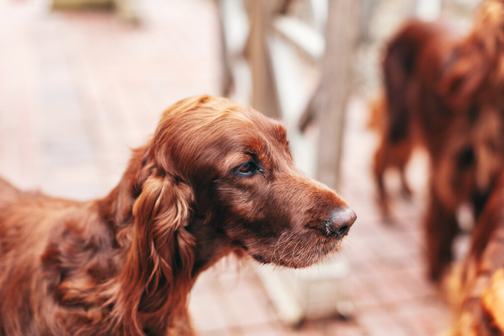
After breakfast we stroll along the Albion Basin past the rope tow. There we meet a nice grey-haired lady named Barb and her dog Sunny. Barb has lived in Alta for 35 years. She says the community and town of Alta are very close-knit. Only residents of the town are permitted to have dogs in the watershed, which she thinks is a dumb rule. We agree. Barb’s dog Sunny is a 9-month-old German Shepherd who jumps up on us, despite her telling him not to. She tells us about the mining history, how the water for the town is acquired and stored in old mining shafts. “It’s very interesting and certainly worth seeing if you can get a tour,” she tells us. Barb also tells us where to find wildflowers.
The wildflowers are small, but on close inspection they are impressive: Wall Flowers, Forget-me-nots, geraniums and bluebells are everywhere in the basin. The view from Alta Lodge reveals alpine majesty at its best, a lush green hill with a large streak of white snow that skiers are still hiking up to enjoy, as late as July 24th.
The Albion Basin offers numerous summer hiking routes. The end of August and September are the best times to hike and not need to worry about snow. The Alta Lodge offers advice for the best routes to take depending on conditions, but there are trails to mountain lakes and old mining areas. Even an easy stroll through the Albion Basin offers an amazing assortment of wildflowers and amazing alpine views.§